
𝐂𝐀𝐏𝐓𝐔𝐑𝐄𝐃 𝐈𝐍 𝐋𝐄𝐍𝐒 | 𝐏𝐫𝐨𝐯𝐢𝐧𝐜𝐢𝐚𝐥 𝐓𝐫𝐚𝐢𝐧𝐢𝐧𝐠 𝐨𝐧 𝐆𝐞𝐨𝐬𝐩𝐚𝐭𝐢𝐚𝐥 𝐂𝐨𝐦𝐩𝐞𝐭𝐞𝐧𝐜𝐞
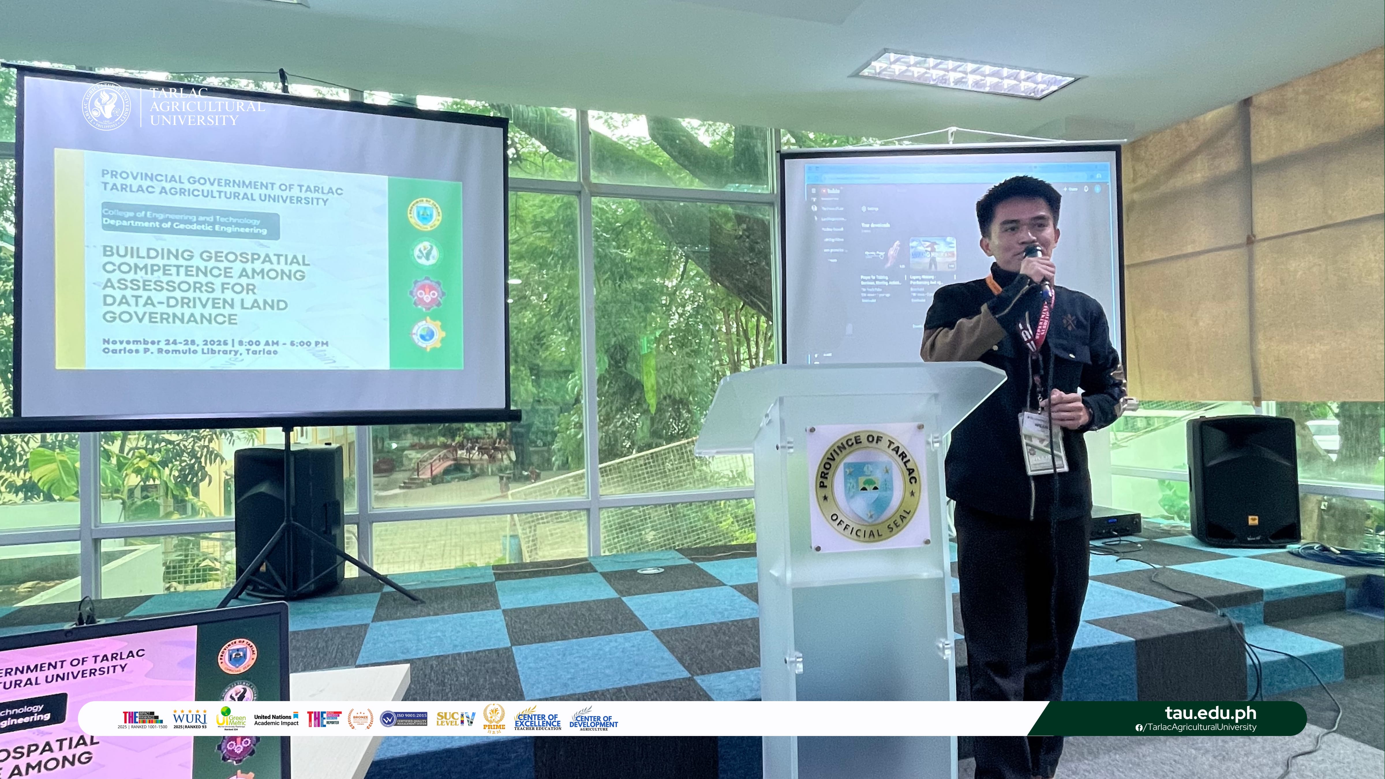
In a strategic move to modernize property assessment and land administration, Tarlac Agricultural University (TAU), in partnership with the Tarlac Provincial Assessor’s Office, launches a comprehensive training program titled "Building Geospatial Competence among Assessors for Data-Driven Land Governance" from 24 to 28 November at the Tarlac Provincial Capitol.
Equipping thirty provincial and municipal assessors with essential Geographic Information System (GIS) skills, this initiative directly supports the province's new GIS-Based Tax Mapping project, aiming to enhance the accuracy, uniformity, and transparency of land valuation and tax mapping across all seventeen municipalities. The training, spearheaded by the College of Engineering and Technology (CET) through its Department of Geodetic Engineering (GE), features a robust curriculum of lectures and hands-on exercises. Participants learn core GIS concepts, from data collection and georeferencing to spatial analysis and project development, using open-source QGIS software.
The activity underscores TAU’s commitment to extension and innovation, translating academic expertise into tangible solutions for good governance, sustainable land use, and improved public service within the province.
#SmartTAU #GreenandGlobal #GIS #CET #GE #Bamboo #SDG4 #SDG8 #SDG9 #SDG11 #SDG17
Text | Information Unit
Photos | College of Engineering and Technology